

AS a result of growing housing development, concerns are understandably being expressed about additional pressure on the A414.
In the past this wasn’t the main route into Maldon – it was actually London Road.
However, the stretch of highway between what is now Ben Cobey Avenue (named after a fallen Great War soldier) and Oak Corner roundabout, Woodham Mortimer, is very ancient indeed.
It is packed with places of interest and most of these features have remained unchanged for years (some of them for centuries) – the old borough boundary (first recorded in 1171 and now marked with a modern town sign), that lovely little thatched cottage which I have always admired (recorded in 18th Century court rolls), Woodham Mortimer Hall (with its early-17th Century facade), St Margaret’s parish church (Norman, but re-built by the Victorians), the obelisk opposite (1825), Woodham Mortimer Place (remodelled in the 18th Century), the milestone (1814) – even the bus shelter (opened during Queen’s coronation celebrations in 1953).
There are, however, three places that have sadly not survived the passage of time.
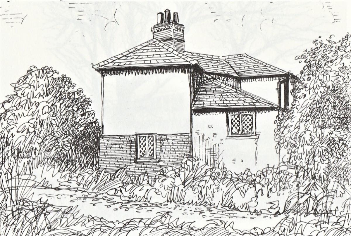
The first of these was captured in a sketch by my late friend, talented local artist CG ‘Charlie’ Tait and appears in his fascinating book The Changed Face of Maldon and Heybridge (privately published in 1991).
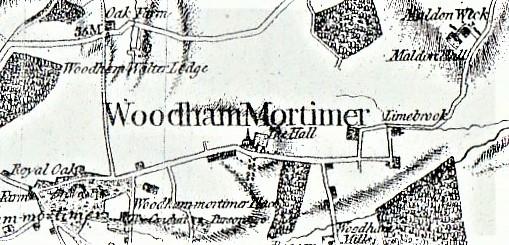
Unusually known as Box Iron Cottage, it stood on what was then part of a twist in the main road.
That section has thankfully since been re-routed, but it originally involved a very sharp left-hand bend beyond Limebrook Farm, another equally sharp right and exited into the top of existing Lodge Road.
They were, as you can imagine, extremely dangerous bends – hence a straighter replacement was introduced.
The little cottage that was there was a quaint, odd-shaped building on split levels that looked like an old-fashioned box-iron (a Victorian laundry device of distinctive shape).
It has long since been demolished and no trace of it now remains, although you can still make out the old road beyond the field gate on the left and Charlie’s picture helps us to reconnect.
Continuing along our route, the next lost building was once located almost opposite St Margaret’s Rectory.
There is a fenced-off area with a hard-standing that normally has a piece of farm machinery on it.
I well remember the red brick Church of England primary school that used to be there. Constructed back in 1868, it was paid for by Colonel CG Round, a close friend of the Parker family who then lived at nearby Woodham Mortimer Place.
Its catchment included children from both Woodham Mortimer and Hazeleigh, and they had to tramp across fields in all weathers to receive their daily lessons.
The school was small and consisted of just two rooms, with a playground to the front (now partly under another re-aligned section of the road).
In winter the building was (inadequately) heated by a large coal-fired tortoise stove and although the milk was kept on site, dinners were cooked elsewhere and delivered for the lunchtime break.
Like many other village schools, Woodham Mortimer closed in the 1960s on the cold grounds of economics.
Although all physical evidence of it has been swept away, its story can still be studied in the Essex Record Office where its log books (covering the period 1879 to 1964), admission register (1958-1964) and manager’s minutes (1953-1964) are preserved.
Next to the site of the school is a large, open field that stretches all the way to Rectory Lane.
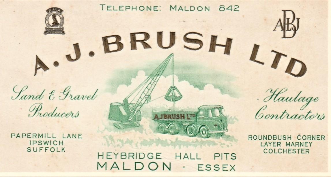
Believe it or not this was once a race course and again I can remember the original white fencing of the track.
It was at one time owned by the late entrepreneur and aggregates merchant Alan J Brush, and was the venue for many an exciting gallop.
I suppose you could say that its nearest local successor is Chelmsford City Racecourse at Great Leighs, but Woodham Mortimer’s race days are no more.
Instead visitors to this area prefer to call at Claremont home and garden centre.
This sits alongside the roundabout that gives access to a continuation of the road to Danbury or to Bicknacre or Purleigh.
We are really lucky in this area in that we can spot historic features alongside any one of our network of roads, but that short, two-mile route of the A414 is truly unique.
On a clear run in a car (rightly sticking to speed limits) it is just three minutes from one end to the other.
But it is three minutes of time travel through clues to 850 years of local history – consisting of surviving, tangible remains, and at least three ghosts of a lost landscape.


Comments: Our rules
We want our comments to be a lively and valuable part of our community - a place where readers can debate and engage with the most important local issues. The ability to comment on our stories is a privilege, not a right, however, and that privilege may be withdrawn if it is abused or misused.
Please report any comments that break our rules.
Read the rules here